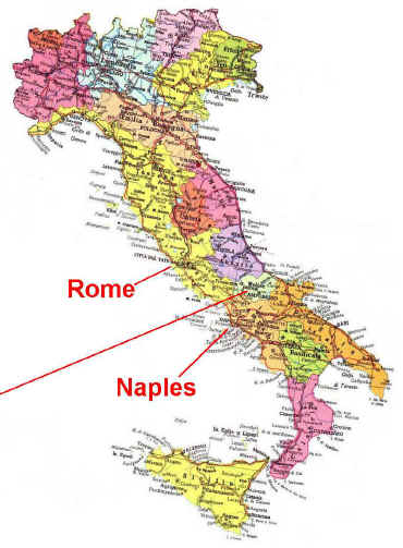
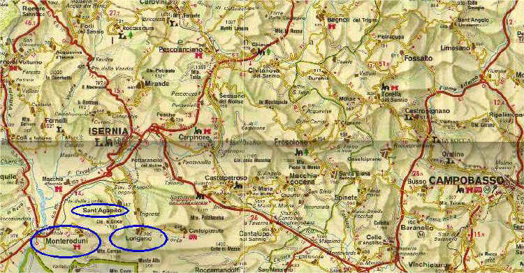
Maps of Area of Molise / Isernia Italy
showing Monteroduni, Longano, Sant. Agapito

|
|
|
|
Isernia, Molise map showing family locations
 |
|
Longano
Longano is a comune in the Province of Isernia in the Italian
region of Molise, located about 35 km west of Campobasso and about 9 km
south of Isernia. As of 31 December 2017, it had a population of 680 and
an area of 27.1 km²
Area: 10.46
sq miles (27.1 km²)
Province:
Province
of Isernia |
|
Monteroduni
Monteroduni is a comune in the Province of Isernia in the
Italian region Molise, located about 40 km west of Campobasso and about
11 km southwest of Isernia. The town's name derives from the ancient one
of the river Volturno, Olotrunus.
As of 2017, it had a population of
about 2100
Area:
14.29
sq miles (37 km²)
Province:
Province
of Isernia |
|
Sant'Agapito
Sant'Agapito is a comune in the Province of Isernia in the
Italian region Molise, located about 40 km west of Campobasso and about
6 km south of Isernia. As of 2018, it had a population of
1,450 and an area of 15.8 km².
Area:
6.1
sq miles (15.8 km²)
Province:
Province
of Isernia |
|
Province of Isernia
The Province of Isernia is a province in the Molise region of
Italy. Its capital is the city of Isernia. It has an area of 1,529 km²,
and a total population of 89,775. There are 52 comunes in the province.
Area:
590.3
sq miles (1,529 km²) |